
Welcome to Brister Surveying
Brister Surveying is a full service professional land surveying company based in South Texas, specializing in comprehensive residential and commercial land surveys. With extensive experience and a commitment to precision, we provide accurate and reliable ALTA/NSPS standard surveys, topographic surveys, boundary surveys, and residential platting, right of way, and elevation certificates, tailored to meet the unique needs of each client.
Our team of licensed surveyors utilizes state-of-the-art satellite receiver and drone technology and industry best practices to deliver detailed and timely results that support your property development, construction, and real estate projects. At Brister Surveying, we prioritize clear communication, professionalism, and integrity to ensure that your land surveying needs are met with exceptional service and expertise.
Choose Brister Surveying for trusted land measurement solutions that lay the foundation for your success.
-
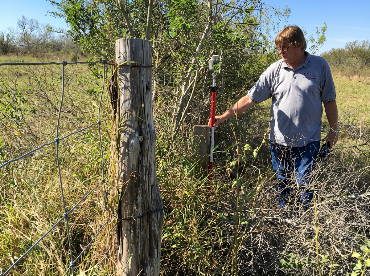
After 18 years of extensive experience in complex road and bridge construction surveying, Ronald Brister, RPLS, recognized a clear need for a qualified, professional, yet approachable land surveying company to thoroughly address all of the public’s diverse surveying needs. What began as a small two-person start-up in 2001 has grown steadily into one of the largest independent surveying firms in South Texas. Today, Brister Surveying is fully equipped to handle projects of any scale. Whether you require surveying for a small residential lot or one of the largest ranches in Texas, our team is dedicated to completing your project with the highest level of accuracy and within a timely manner.
-
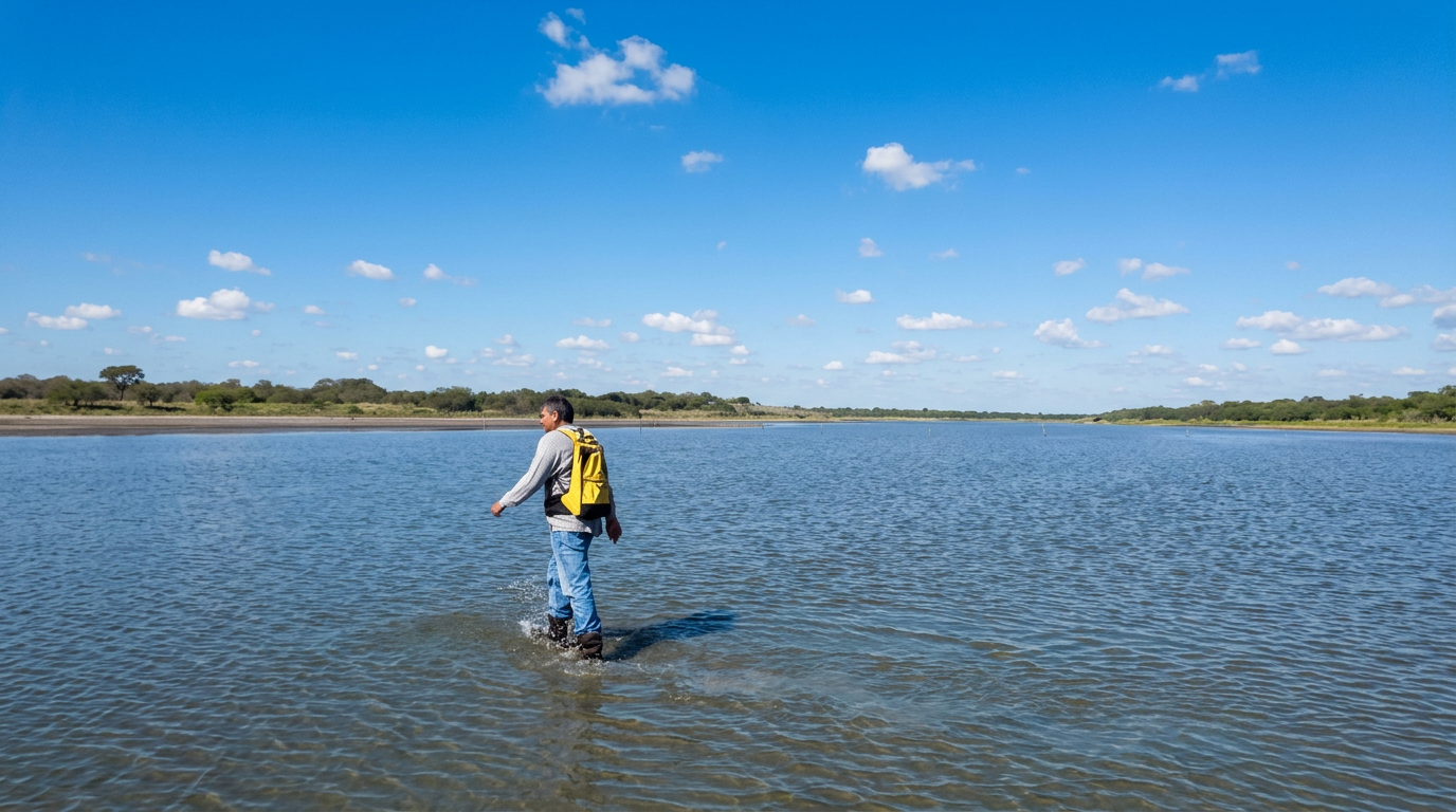
Our dedicated team of highly professional individuals takes customer service to the absolute maximum. From your very first contact with our friendly and efficient administrative team to the final delivery of the completed work product or detailed drawings, your project will receive the utmost personal attention and meticulous care. With five independent survey teams expertly gathering precise field data and nine skilled CAD draftsmen working diligently, the majority of boundary surveys are completed within just five days. Therefore, whether you are a property buyer, seller, title company, or realtor, you can rest assured that your closings will proceed smoothly without any delays caused by waiting on the survey.
Why a survey?
A good quality survey can prevent many potential problems down the road. A boundary survey helps avoid disputes by clearly defining property lines and ensures that fences, structures, and other improvements are properly located within your land. A topographic survey provides valuable information about the contours and elevations of your property, which is essential for proper drainage planning. Additionally, an elevation certificate offers critical data to confirm that your building complies with local codes related to flood risk and mitigation. These surveys and certifications can significantly impact insurance rates and the approval process for permits. Investing a little money upfront in a thorough survey can save you substantial costs and headaches in the future!